
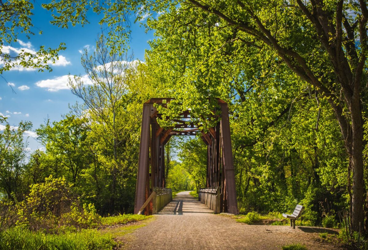
Missouri’s 240-mile Katy Trail winds through small towns, farmland and scenic stretches along the Missouri River. Planning a ride in the cooler months? Use our interactive map to explore the route from Clinton to Machens, discover stops along the way and see where seasonal water and restroom closures could affect your trip.
Explore the Katy Trail
The Katy Trail runs about 240 miles across Missouri, from Clinton in the west to Machens in the east. It is open year-round from sunrise to sunset. The interactive map needs JavaScript; if you can read this, it did not load.
- Section 1, Clinton to Boonville: farmland, Sedalia and railroad history.
- Section 2, Boonville to Jefferson City: river bluffs and the Rocheport tunnel. Jefferson City is a spur from North Jefferson.
- Section 3, Jefferson City to Hermann: river-bottom towns. The Hermann Spur leaves the main trail at McKittrick.
- Section 4, Hermann to Machens: Augusta, St. Charles and the final open stretch.
From Nov. 1, 2026, through March 31, 2027, water is turned off and restrooms close at several trailheads. This is a published advisory, not a live feed.
Official seasonal advisory · Check current trail conditions · Katy Trail State Park
For a closer look at the route, including towns worth exploring, places to stay and tips for riding in cooler weather, read our full guide: What to know before biking Missouri’s Katy Trail in the cooler months.
Your home base for the great outdoors. Sign up for the Camp & Country newsletter